
Satellite-Powered AI Could Help Prevent Future Forest Loss
A pioneering artificial intelligence system named ForestCast has been developed by Google DeepMind and Google Research to forecast deforestation risk at a global scale, including in India. The system represents a significant shift from simply monitoring past forest loss to predicting which areas are most vulnerable in the future, enabling governments, companies, and local communities to take proactive measures to protect forests.
Forests are critical for maintaining the planet’s climate, regulating rainfall, mitigating floods, storing carbon, and sustaining the majority of terrestrial biodiversity. Despite this, the world continues to witness alarming forest losses. In 2024 alone, an estimated 6.7 million hectares of tropical forest were destroyed, equivalent to 18 soccer fields every minute, doubling the loss recorded in 2023. Habitat conversion has been identified as the primary driver of biodiversity loss on land.
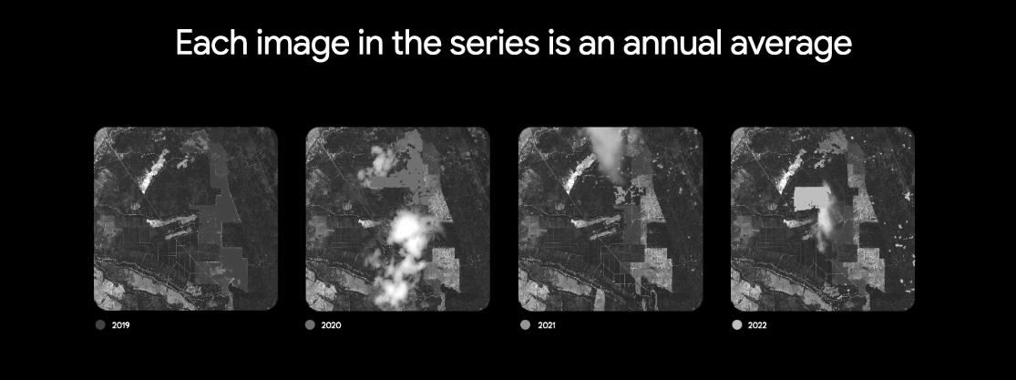
For decades, forest monitoring has relied on satellite imagery. NASA’s Landsat series and ESA’s Sentinel-2 satellites provide global coverage with historical and near-real-time data. In India, additional support is provided by ISRO’s IRS, Cartosat, and Resourcesat satellites, which offer higher-resolution and region-specific monitoring, particularly in critical forest zones. Traditional approaches to predicting deforestation relied on assembling patchy maps of roads, population density, land use, and policy enforcement, which were often inconsistent, limited in scale, and quickly became outdated.
ForestCast overcomes these challenges by adopting a “pure satellite” approach, using only satellite imagery and a derived “change history” dataset that records the year each pixel was deforested. The system uses vision transformers, a type of deep learning model, to analyze entire satellite tiles, capturing spatial context and trends that allow future deforestation risk to be forecast accurately. Research has shown that the change history alone is highly predictive, producing results comparable to models using full satellite inputs. All training and evaluation datasets have been made publicly available, ensuring that results can be reproduced, verified, and improved by the wider scientific and machine learning community.
The forecasts generated by ForestCast allow governments to allocate conservation resources efficiently, companies to manage supply chains to reduce forest loss, and indigenous communities and local organizations to focus protection efforts on lands at highest risk. ForestCast is not a prediction of an inevitable outcome, but rather a tool for guiding proactive measures. By anticipating areas at risk, interventions can be targeted effectively, potentially preserving millions of hectares of forests and reducing greenhouse-gas emissions caused by land-use change. The system is scalable and can be applied globally, including tropical forests in Latin America and Africa, as well as temperate and boreal regions affected by cattle ranching, fires, and infrastructure expansion.
Experts believe that ForestCast marks a first-of-its-kind, AI-driven, globally scalable approach to deforestation risk forecasting, combining advanced machine learning, satellite imagery, and open data benchmarks. It is expected to redefine how forests are monitored and conserved, providing a powerful tool for governments, companies, and communities worldwide. Further information and access to datasets are available through Google Earth AI, Google Earth Engine, and AlphaEarth Foundations.