
IMD forecasts thunderstorms, strong winds in Andhra and Rayalaseema
Andhra Pradesh is set to witness a brief spell of thunderstorms, lightning, and gusty winds over the next few days, driven by evolving weather systems over the Bay of Bengal, before intense summer heat reasserts itself across the state . The India Meteorological Department (IMD) has flagged pre-monsoon instability , particularly impacting Coastal Andhra Pradesh, Yanam, and parts of Rayalaseema .
According to meteorological inputs, an upper air cyclonic circulation over the west-central Bay of Bengal , along with a trough extending from Telangana to the Gulf of Mannar , is fueling moisture incursion and atmospheric instability . This combination is expected to trigger short-duration thunderstorms accompanied by lightning and gusty winds reaching 40–50 kmph , especially during the first half of the forecast period.
The impact will be most pronounced across North Coastal Andhra , where districts such as Srikakulam, Vizianagaram, Parvathipuram Manyam, Alluri Sitharamaraju, Visakhapatnam, Anakapalli, Kakinada, Konaseema, East Godavari, West Godavari, Eluru, and Yanam are likely to experience scattered to isolated rainfall with thunderstorms over the next two to three days. These areas form the core weather activity belt , with higher chances of lightning and gusty winds.
In contrast, South Coastal Andhra districts , including Krishna, NTR, Guntur, Palnadu, Bapatla, Prakasam, and Nellore , are expected to witness isolated and short-lived thunderstorms , with rainfall remaining patchy and uneven in distribution . Meanwhile, Rayalaseema districts such as Kurnool, Nandyal, Anantapuramu, Sri Sathya Sai, YSR Kadapa, Annamayya, Tirupati, and Chittoor will see a mixed pattern , with relatively weaker and delayed thunderstorm activity , and several locations likely to remain dry in the initial days.
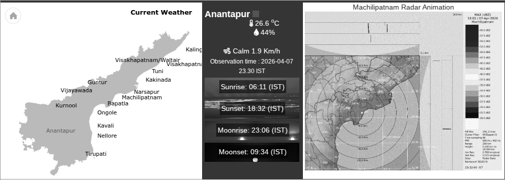
Despite the rain activity, the overall weather pattern indicates a rapid transition to dry and hotter conditions . IMD’s district-level forecast shows that most regions will turn dry after Day 3 or 4 , paving the way for a sharp rise in temperatures across the state . This aligns with recent observations of maximum temperatures already crossing 40°C in several districts , particularly in Rayalaseema , where Anantapur, Kurnool, and Kadapa regions are emerging as heat hotspots .
The evolving pattern reflects a typical pre-monsoon phase , where daytime heating combines with moisture influx , leading to evening thunderstorms , followed by clear skies and intensified heat . While the rainfall may offer temporary relief , experts caution that it will be short-lived and highly localized , with no widespread or sustained precipitation expected .
Authorities have also raised concerns over lightning risks , urging residents especially farmers and outdoor workers to avoid open fields and refrain from taking shelter under trees during storm activity.
Overall, the state is entering a two-phase weather cycle: an initial burst of unstable, storm-driven conditions, followed by a dominant dry spell with rising heat stress. With heatwave-like conditions likely to intensify after the brief rain window, preparedness for both lightning hazards and high temperatures will be crucial in the days ahead.