
Govt says only 0.19% of Aravalli open to mining under new norms
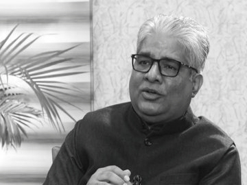
Union Environment Minister Bhupender Yadav on Monday backed the Centre’s revised regulatory framework for the Aravalli region, asserting that mining would be permitted in only 0.19% of the total Aravalli landscape and that the approval process has now become more stringent and science-based, amid criticism that the new norms dilute environmental protection.
The Aravalli Range , one of the oldest mountain systems in the world, runs roughly 700 km across Gujarat, Rajasthan, Haryana and Delhi. Ecologically, it plays a critical role in groundwater recharge, acts as a natural barrier against desertification from the Thar, moderates dust and air pollution in the Delhi-NCR region, and supports forests, wildlife corridors and rural livelihoods. Over the years, the range has also been vulnerable to illegal mining and unregulated construction, prompting repeated interventions by courts and environmental regulators.
The latest debate follows the S upreme Court’s acceptance of a revised definition of the Aravalli hills and ranges. Under this framework, an Aravalli hill is identified using measurable scientific criteria,Under the revised framework accepted by the Supreme Court, an area will be classified as an “Aravalli hill” only if it has a minimum local relief of 100 metres, meaning the land must rise at least 100 metres above the surrounding terrain. This scientific criterion has been introduced to distinguish genuine hill formations from plains or minor undulations.
An “Aravalli range” has been defined as a cluster of t wo or more such qualifying hills located within a specified distance of each other. Isolated elevations that do not meet both the height requirement and the proximity condition will not be treated as part of the Aravalli range.
The government has maintained that the 100-metre local relief benchmark brings uniformity and clarity to the identification of the Aravalli system across states, which earlier suffered from varied interpretations based on old revenue records and inconsistent descriptions. Environmental groups, however, argue that several low-lying ridges and forested stretches that play an important ecological role may now fall outside the legally protected Aravalli classification.
The government says the move brings clarity and uniformity to a region where varying interpretations earlier led to legal ambiguity and enforcement challenges.
Addressing concerns, Yadav said that around 90% of the Aravalli system remains protected, and that mining is even theoretically possible only in 0.19% of the total Aravalli area, subject to multiple layers of scrutiny. He stressed that no automatic clearances are involved and that any proposal would require environmental impact assessments, expert evaluations and compliance with Supreme Court directions. The minister also underlined that the framework is aimed at curbing illegal mining, not promoting fresh exploitation.
However, environmental groups and opposition parties have raised objections, arguing that the revised definition could exclude lower hills, ridges and forested areas that are ecologically significant but may not meet the new technical criteria. They highlight that even the permitted 0.19% equates to 274 square kilometres twice the size of New Delhi and fear this could make such land more vulnerable to mining, real estate and infrastructure activity, potentially affecting air quality, water availability and climate resilience in north-western India, especially around Delhi-NCR.
The Centre has rejected these allegations, maintaining that the policy strengthens protection by relying on scientific mapping and court-approved safeguards, while continuing parallel initiatives such as afforestation and conservation programmes in the Aravalli region.
The issue has thus emerged as a wider policy debate over how India balances environmental conservation, legal clarity and regulated development in one of its most sensitive and historically important ecological zones.