
Global forest mapping goes high-resolution with Google’s AI-Powered natural forests dataset
A new AI-powered global map, Natural Forests of the World 2020, has been released to distinguish natural forests from other tree cover. The project was developed by Google DeepMind and Google Research in collaboration with the World Resources Institute (WRI) and the International Institute for Applied Systems Analysis (IIASA). It was published in Nature Scientific Data and provides a high-resolution baseline for deforestation monitoring and conservation efforts worldwide.
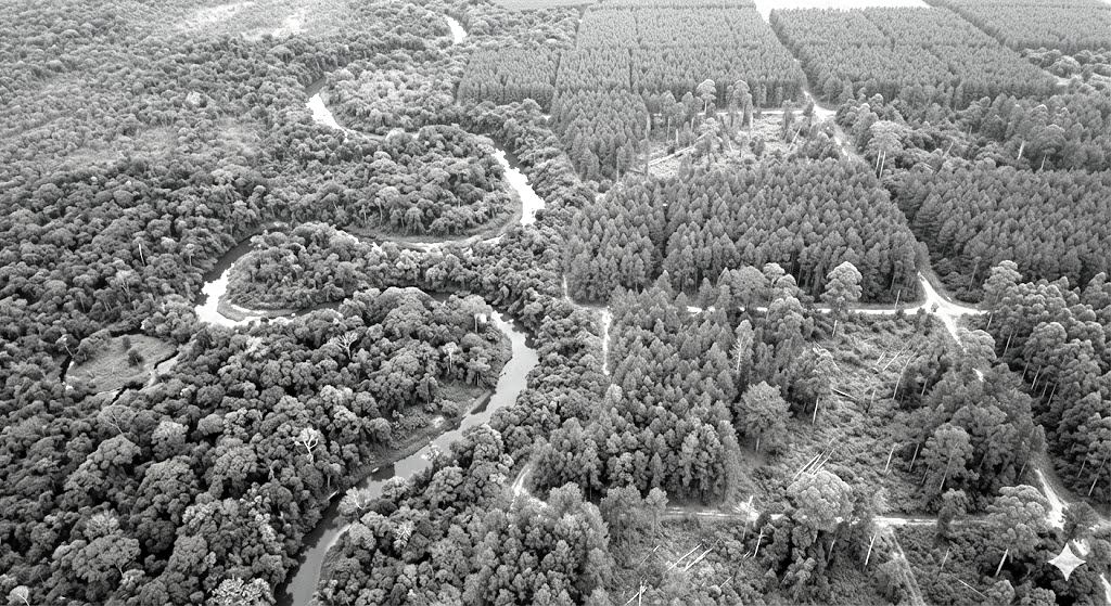
Forests are critical for regulating rainfall, storing carbon, preventing floods, and supporting biodiversity. However, deforestation continues at alarming rates, and distinguishing centuries-old natural forests from commercial plantations or tree crops using traditional satellite maps has remained a challenge. Existing “tree cover” maps often conflate natural forests with short-term plantations, making the loss of biodiversity-rich ecosystems difficult to detect.
The need for accurate mapping has become urgent with the introduction of new regulations, such as the European Union Deforestation-free Products Regulation (EUDR). This regulation requires products such as coffee, cocoa, rubber, timber, and palm oil sold in the EU to be free from deforestation or degradation after December 31, 2020. Natural forests, including primary and naturally regenerating forests, are the primary focus of these protections.
To address this challenge, a multi-modal temporal-spatial vision transformer (MTSViT) AI model was developed. Unlike traditional approaches, this model analyzes a 1280 x 1280 meter patch of land over the course of a year, segmenting it into 10 x 10 meter pixels and estimating the likelihood that each pixel represents a natural forest. The model incorporates Sentinel-2 satellite imagery, topographical data such as elevation and slope, and geographical coordinates to provide contextual analysis. Distinct spectral, temporal, and texture signatures were used to differentiate natural forests from planted forests, commercial tree crops, and other land cover.
Over 1.2 million global patches were sampled to create a multi-source training dataset for the model. After training, the MTSViT model was applied globally, producing a seamless, 10-meter resolution map. Validation was performed using a global independent dataset, originally focused on forest management in 2015 and updated for 2020. The resulting map achieved 92.2% accuracy, making it the first globally consistent, high-resolution map capable of reliably distinguishing natural forests from other tree cover.
The map is expected to assist governments, auditors, companies, and conservation groups. Companies can use it to comply with deforestation-free supply chain regulations, policymakers can monitor deforestation, and conservation organizations can focus efforts on biodiversity-rich natural forests.
Looking ahead, the research team plans to release a multi-year series of global forest maps by 2026. These maps will categorize land into six types: Primary Forest, Naturally Regenerating Forest, Planted Forest, Plantation Forest, Tree Crops, and Other Land Cover. To support AI research, two benchmark datasets have been released: the Planted dataset, with over 2.3 million time-series examples of planted forests and tree crops, and the Forest Typology (ForTy) benchmark, which includes 200,000 multi-source, multi-temporal image patches for semantic segmentation models.
By providing high-resolution, transparent, and scientifically validated data, the project is expected to empower global efforts to achieve deforestation-free goals, protect biodiversity, and contribute to climate stability.