
Earthquake of magnitude 5.4 and 90 km depth strikes Andaman Islands
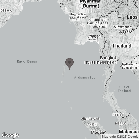
A moderate earthquake struck the Andaman Sea on Sunday afternoon, shaking several parts of the Andaman and Nicobar Islands. While the German Research Centre for Geosciences (GFZ) reported the quake at a magnitude of 6.1, India’s National Center for Seismology (NCS) estimated it at 5.4 on the Richter scale. The tremor was recorded at 12:06 pm at a depth of 90 kilometres, according to NCS data.
The quake was felt across Port Blair and nearby islands, prompting brief concern among residents. However, officials confirmed that there were no immediate reports of casualties or property damage. Authorities have not issued any tsunami warnings, and the situation remains stable.
Seismologists explained that the earthquake resulted from tectonic activity along the boundary between the Indian and Burmese plates, part of the highly active seismic arc that runs through the eastern Indian Ocean. This zone experiences regular tremors due to the slow but constant collision and subduction of the two plates. On average, the Andaman and Nicobar region witnesses eight to ten noticeable earthquakes each year, along with numerous smaller ones.
The islands, home to about 380,000 people, have a long history of seismic activity. The most powerful event occurred on December 26, 2004, when a 9.1–9.3 magnitude undersea megathrust earthquake off northern Sumatra triggered the catastrophic Indian Ocean tsunami, which devastated several coastal areas, including the Andaman and Nicobar Islands. Since then, the region has recorded several moderate-to-strong quakes, though none with similar destructive impact.