
Chhattisgarh Brings Satellite Mapping Into Paddy Procurement System
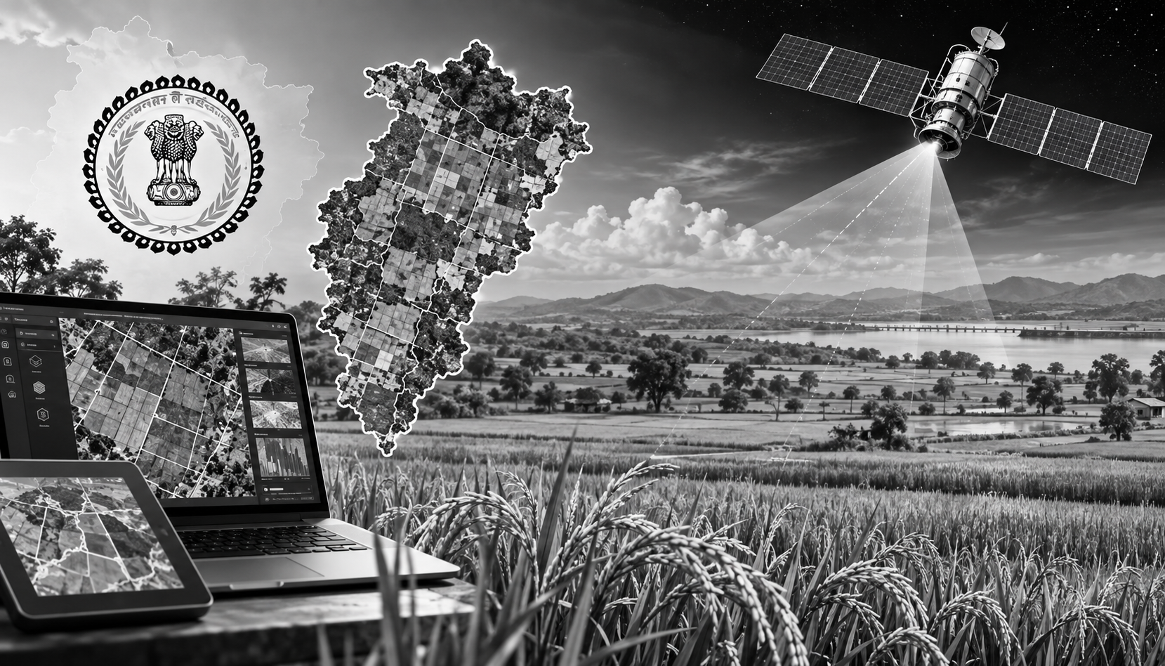
Chhattisgarh is taking its digital transformation of paddy procurement a step further by using satellite imagery, remote sensing and Geographic Information System (GIS) technology to determine and verify the actual area under paddy cultivation. The initiative aims to create a more accurate, scientific and transparent system for assessing crop acreage, including agricultural areas where conventional digital land records remain incomplete.
The Directorate of Food, Civil Supplies and Consumer Protection and the Chhattisgarh Council of Science and Technology (CGCOST) have signed a Memorandum of Understanding (MoU) to map and technically verify paddy cultivation. The collaboration will integrate land records, digital crop surveys, GIS mapping and satellite-based crop verification, strengthening the geospatial foundation of the state's procurement system.
The initiative assumes importance given the scale of Chhattisgarh's paddy procurement. During Kharif 2025-26, the state procured around 142 lakh metric tonnes, taking procurement across three kharif seasons to about 437 lakh metric tonnes. For the same season, 26.50 lakh farmers registered 29.27 lakh hectares of paddy area, with procurement permitted up to 21 quintals per acre at ₹3,100 per quintal.
Under the MoU, latitude and longitude coordinates of georeferenced agricultural parcels will be matched with satellite imagery to technically verify the presence of paddy. Special attention will be given to Forest Rights Act (FRA) areas and submergence zones where georeferenced records are unavailable. GIS-based polygon layers will be created for such agricultural land before satellite-based assessment.
The move builds on Chhattisgarh's Digital Crop Survey and AgriStack infrastructure. The state has generated 32,86,170 Farmer IDs, while its Digital Crop Survey has been used to support MSP-based paddy procurement. Chhattisgarh has also been identified by the Centre as the first state to implement AgriStack in paddy procurement.
The state had earlier earmarked ₹150 crore for cadastral-map georeferencing, while its Kharif 2024 Digital Crop Survey targeted 26,05,845 khasras across 2,700 villages. Of these, 24,22,897 khasras were surveyed and 23,96,793 verified, covering about 93% of the targeted crop area.
The initiative also aligns with India's wider use of satellite technology for agricultural acreage and production assessment under programmes such as FASAL. By combining land records, crop surveys, GIS and satellite observations, Chhattisgarh aims to reduce dependence on manual assessment and create a more reliable basis for procurement planning, verification and agricultural data management.